Choosing a mountain drive by mileage alone can leave no time for the stops you came for. For a Front Range outing, start with Lariat Loop when time is tight, Peak to Peak for a longer mountain corridor, and Trail Ridge Road when the alpine crossing is open and your schedule can absorb a park visit.
If you are searching for the best scenic byways in Colorado from a Denver or Boulder base, these three offer distinct choices. This is a comparison for a half-day or day out, rather than a statewide ranking. The route table, time budget and closure alternatives below help you choose one outing you can actually finish.
Compare the route before counting the stops
CDOT publishes the following route lengths and driving times. They are planning references for the named byways, not live navigation estimates or complete door-to-door outing times.
| Byway | Official length and driving time | Our suggested fit | Time still to add |
|---|---|---|---|
| Lariat Loop | 40 miles; 2 hours — CDOT | A foothill loop when you want a smaller route commitment | Travel to and from the loop, your chosen attractions, meals and delays |
| Peak to Peak | 55 miles; 80 minutes — CDOT | A mountain drive when you can plan both ends of the route | Approach drive, stops and the whole return journey |
| Trail Ridge Road | 48 miles; 2 hours — CDOT | An alpine crossing with a flexible day and confirmed access | Park approach, entrance wait, overlooks and your return route; NPS recommends at least a half day for the experience |
The official driving time is only one part of your outing. A shorter published time does not make Peak to Peak a shorter total day than Lariat Loop: your starting point and return plan can reverse that comparison. Likewise, Trail Ridge’s listed road time should not replace NPS’s broader advice to set aside at least half a day for the visit.
Lariat Loop: start here for a compact foothill outing
Lariat Loop connects Golden, Morrison and Evergreen, with a route over Lookout Mountain. CDOT describes foothills, canyons, meadows and heritage attractions; it lists year-round accessibility but also flags a night closure on part of Lookout Mountain Road. Year-round access is not a promise of clear pavement or unrestricted access at every hour. Check the official route page before selecting your stops.
Our recommendation is to choose one main stop and leave room for an optional second. A loop helps simplify the return, but a list of every nearby attraction can still turn a short drive into an overfilled day. Check the hours and parking arrangements for the stop you care about most, then decide whether to drive the full loop.
If even that plan leaves no slack before your required return time, shorten the outing before departure. Use the road trip car checklist for vehicle and packing preparation once you have chosen the route.
Peak to Peak: plan the return before adding detours
Peak to Peak offers a longer mountain corridor with views toward the Continental Divide. CDOT’s route materials identify Black Hawk, Nederland, Allenspark and Estes Park among its visitor-information communities. The agency also distinguishes the main highway from gravel side roads leading toward lakes, trailheads and other destinations. Use its route map and description to check the itinerary you actually intend to drive.
Choose this option when you want to spend more of the outing following a mountain corridor and can account for the journey home. Put your actual start, intended finish and return destination into navigation separately. Do not count arrival at the far end as the end of the driving day.
Our suggestion is to keep the first plan on the main route, with a town stop rather than several side-road excursions. Reaching Estes Park does not mean you must add a national park crossing. If that addition uses all your remaining time, make Estes Park the turnaround or endpoint you planned for. In an electric car, check the charging-stop planning guide against your full itinerary, including the return.
Trail Ridge Road: choose the crossing only after checking access
Trail Ridge Road links Estes Park and Grand Lake through Rocky Mountain National Park. NPS describes a 48-mile road that climbs above treeline and advises allowing at least half a day for the experience. Its open alpine setting is the reason to choose it; the crossing also makes your return plan essential. A drive across the park is not a loop back to your Front Range starting point.
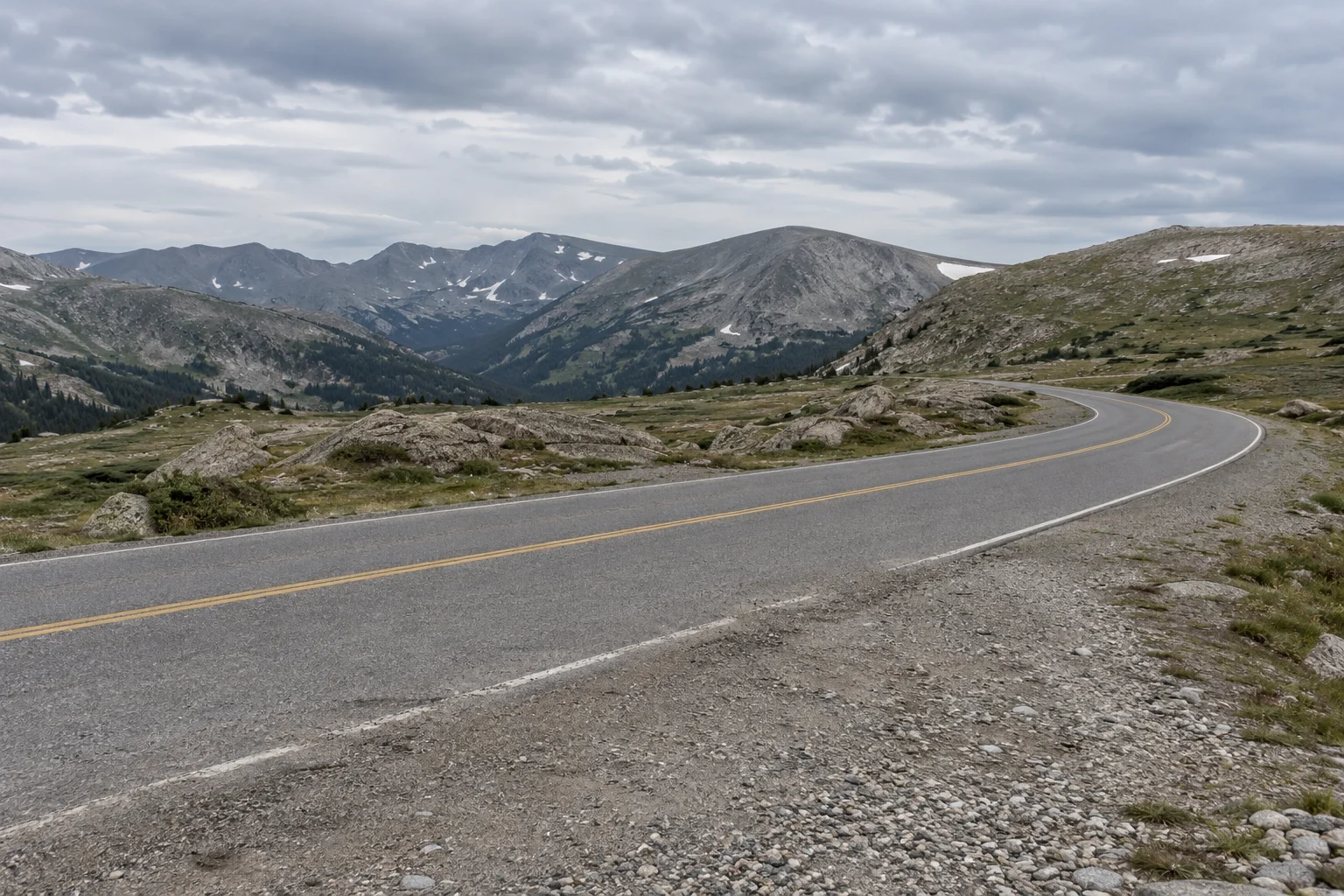
Status checked October 16, 2026: the NPS Park Roads page, marked updated October 6, listed Trail Ridge Road open to through travel when fetched. The same page warns of temporary closures as conditions change. Call the recorded road-status line, 970-586-1222, before committing to the crossing, and follow current signs and staff directions. That dated web snapshot does not establish today’s conditions at the pass.
Check park access separately from road access. The NPS 2026 timed-entry page gives October 12 as the final day for standard timed entry, while the Bear Lake Road option continues through October 18 during its specified hours. A valid entrance pass remains required. Recheck the rules for your travel date; permission to enter the park does not establish whether a road is open.
Build a door-to-door time budget
Use this planning worksheet before adding stops. It is our itinerary method, not an official travel-time formula. Use current navigation for driving estimates and your own realistic stop durations; then compare the total with the time you actually have.
| Budget item | What to enter | Check that prevents an incomplete plan |
|---|---|---|
| Approach | Time from your actual departure point to the byway | The official route length does not begin at your hotel |
| Route driving | Estimate for the exact section and direction you will drive | A partial drive, full route and out-and-back are different itineraries |
| Stops | Parking, walking, meals and attraction visits | Include time away from the car, rather than only photo time |
| Return | Time from the final stop to your required destination | Include the second leg even if you retrace the same road |
| Flexibility | Unallocated time for delays and changes | If none remains, remove a stop or choose a smaller route |
Keep the official figures in the comparison table as a reference beside this budget. Do not add the official road time to navigation’s estimate for the same segment; that would count the drive twice. If an appointment sets a hard finish time, work backward from it and choose a turnaround point before departure.
Check conditions, then choose a fallback
CDOT’s byways directory points travelers to COtrip for current conditions. Start with the route map, then use COtrip for the approach and highway segments. For park roads, check NPS and the Trail Ridge status line as well. Recheck on departure day, rather than relying on a saved route or an earlier screenshot.
| What you find | How to change the plan |
|---|---|
| Trail Ridge through travel is closed | Drop the crossing. Consider a separately checked lower-elevation outing; do not assume you can reach Grand Lake through the park |
| A closure or restriction interrupts Lariat Loop or Peak to Peak | Shorten the outing to confirmed accessible sections, choose another checked route, or postpone |
| Navigation proposes an unfamiliar gravel-road bypass | Stop and verify road suitability and access; do not treat the shortcut as part of this paved-byway comparison |
| Park-entry arrangements do not fit your arrival | Change the visit or choose an outing outside the park, after checking its conditions |
| Stops and return travel exceed your available time | Remove stops, shorten the route or choose a closer destination |
These are planning alternatives, not assurances that another road will be open or suitable. A closure is a reason to reassess the whole itinerary, especially the return journey, rather than keep the same destination at any cost.
Method and sources
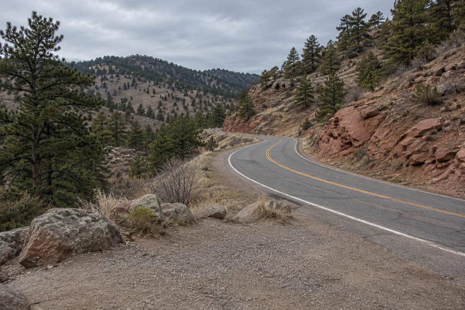
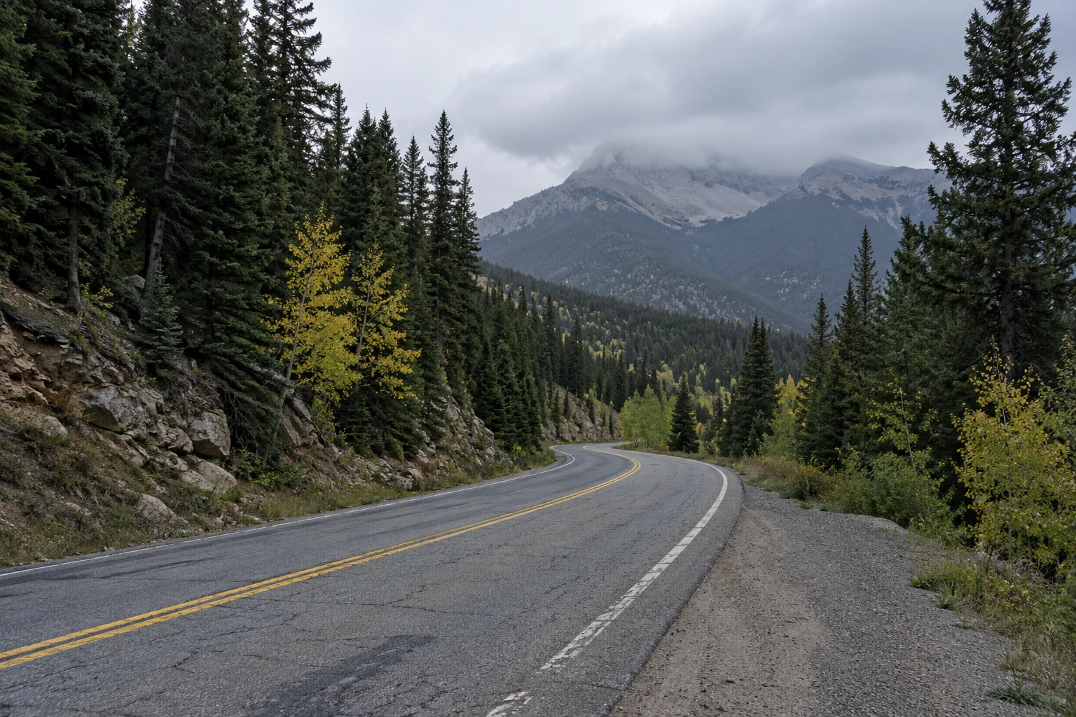
This comparison uses public CDOT route descriptions and NPS visitor guidance fetched on October 16, 2026. We did not drive or time these routes. Route length and nominal driving time come from CDOT; itinerary choices and the budgeting worksheet are our editorial recommendations. Images show general road environments and do not document the named routes or current conditions.
Some official pages contain older notices: CDOT’s Trail Ridge page still displays 2023 permit dates and a closure notice, while the NPS road page carries generic reservation wording. We used NPS’s dedicated 2026 reservation schedule for the dated access rules and its road page for the explicitly dated status snapshot. Verify both again for your departure; neither a scenic-route description nor this article provides a live road report.